Riders of Rohan
Near Canmore · Bow Valley Wildland Provincial Park
Trail score 83 out of 100, from popularity, scenery and trail quality
About this trail
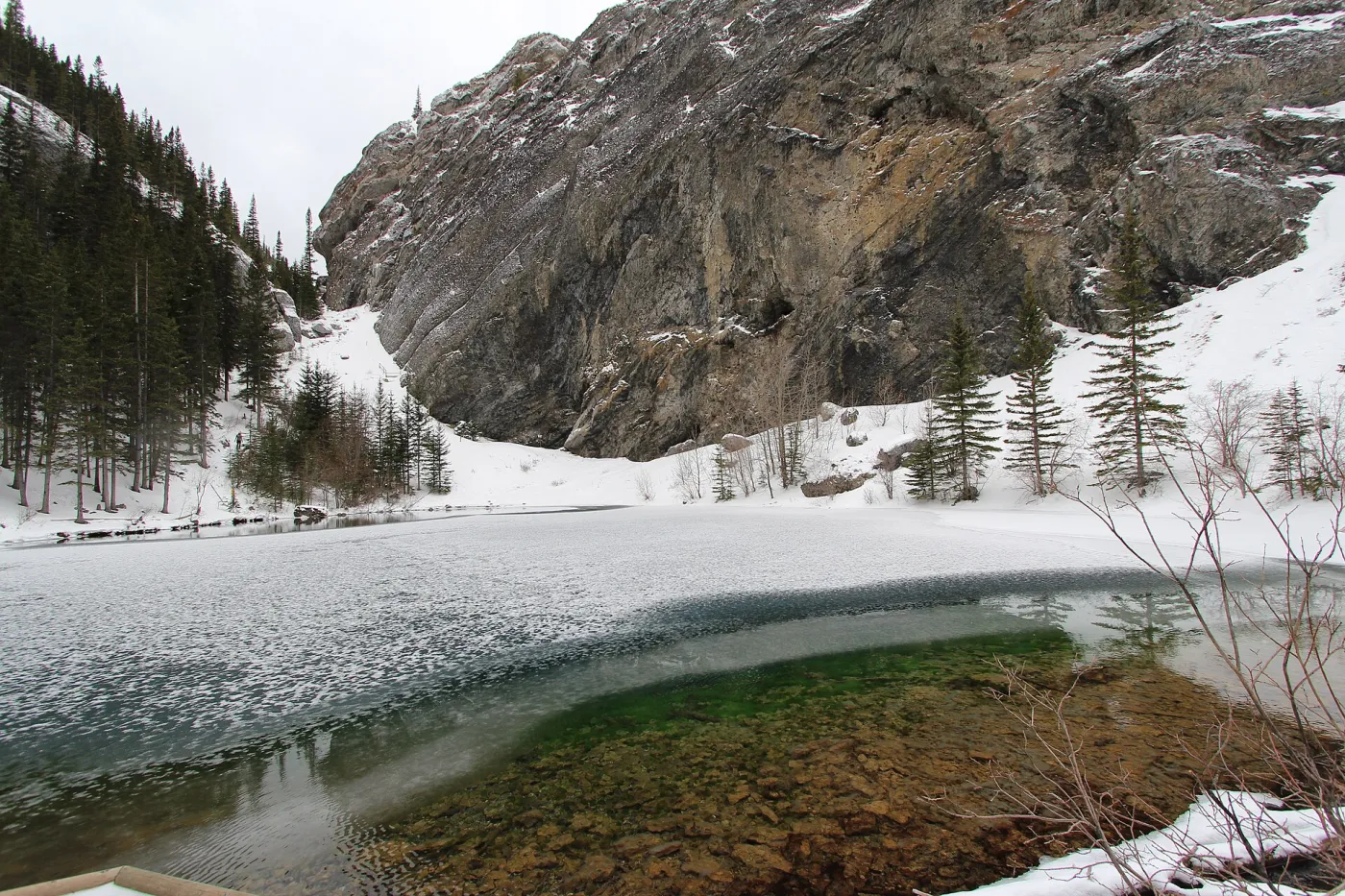
Riders of Rohan is a 2.4 km out and back trail near Canmore in Bow Valley Wildland Provincial Park. It runs 1.2 km each way. The route gains 267 m in total and tops out at 1,626 m. Hike Alberta rates it moderate. Allow about 1 hour 45 minutes of moving time. It meets Highline West End at 0.7 km, and passes three other mapped junctions. Along the way you pass Lower Grassi Lake, a viewpoint and a waterfall. Also used for mountain biking.
- Length
- 2.4km
- 1.2 km each way
- Elevation gain
- 267m
- Estimated time
- 1h45min
- Moving time
- Route
- Out and back
- Highest point
- 1,626m
- Lowest point
- 1,411m
Elevation profile
1,411 m to 1,626 mHighest point 1,626 m, lowest 1,411 m, 267 m of climbing in total. Steepest sustained grade about 33% over 100 m.
Predicted coverage: 100% of route
0% LTE · 100% 5G
- Longest modelled gap
- 0.0 km
- Model
- 2024 · Natural Resources Canada
Predicted coverage is not guaranteed. It varies by carrier, terrain, weather, device and network load, and it does not guarantee emergency service.
Along the way
- 0.0 kmWaterfall
- 0.0 kmWaterfall
- 0.0 kmWaterfall
- 0.0 kmLower Grassi LakeLake
- 0.0 kmViewpointAt 0.0 km
Good for
- Hiking, Mountain biking
- Dog friendly (on leash)
- Lake, Waterfall, Views
Rankings
Trailhead
The trail starts at 51.0728° N, 115.4047° W.
Kananaskis Conservation Pass
Vehicle pass required when parking
Pass details
Vehicles parked at provincial park and public land sites in Kananaskis Country and the Bow Valley need this pass. It is registered to the licence plate. People arriving without a vehicle do not need one, and official exemptions and free days may apply.
$15 daily for one vehicle · $90 yearly for up to three vehicles
Information and prices checked October 21, 2026.
Before you go
Carry an offline map and plan for no service in backcountry areas. Trails close for wildlife, fire, weather and construction. Check the official sources:
Nearby trails
- Ha Ling Approach RouteHard · 2.0 km · 366 m gain · 0.4 km away
- Grassi LakesEasy · 3.0 km · 150 m gain · 1.1 km away
- EEOR Ridge Scramble RouteExpert · 1.4 km · 265 m gain · 1.2 km away
- East End of Rundle RouteHard · 4.7 km · 859 m gain · 1.2 km away
- Miner's Peak RouteExpert · 1.0 km · 94 m gain · 1.3 km away
- Reclaimer TrailEasy · 2.8 km · 188 m gain · 1.3 km away
All 149 trails in Bow Valley Wildland Provincial Park
Trail data © OpenStreetMap contributors, ODbL
Elevation © Mapterhorn from NRCan HRDEM (Open Government Licence Canada) and Copernicus GLO 30