Mirror Lake Highline
Near Lake Louise · Banff National Park
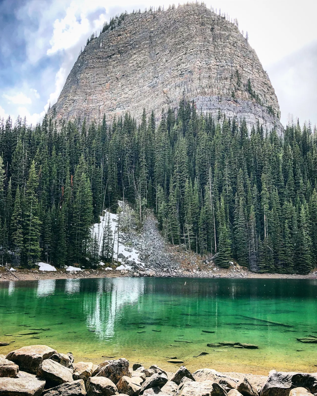
Trail score 83 out of 100, from popularity, scenery and trail quality
About this trail
Mirror Lake Highline is a 1.8 km out and back trail near Lake Louise in Banff National Park. It runs 0.9 km each way. The route gains 93 m in total and tops out at 2,052 m. Hike Alberta rates it moderate, and Parks Canada rates it moderate. Allow about 45 minutes of moving time. Along the way you pass a viewpoint. Also used for horseback riding.
- Length
- 1.8km
- 0.9 km each way
- Elevation gain
- 93m
- Estimated time
- 45min
- Moving time
- Route
- Out and back
- Highest point
- 2,052m
- Lowest point
- 2,023m
Elevation profile
2,023 m to 2,052 mHighest point 2,052 m, lowest 2,023 m, 93 m of climbing in total. Steepest sustained grade about 17% over 100 m.
Predicted coverage: 100% of route
0% LTE · 100% 5G
- Longest modelled gap
- 0.0 km
- Model
- 2024 · Natural Resources Canada
Predicted coverage is not guaranteed. It varies by carrier, terrain, weather, device and network load, and it does not guarantee emergency service.
Along the way
- 0.2 kmViewpointsAt 0.2 and 0.9 km
Good for
- Hiking, Horseback riding
- Dog friendly (on leash)
- Lake, Views
Rankings
Trailhead
The trail starts at 51.4082° N, 116.2434° W.
Banff National Park admission
National park admission required
Pass details
Visitors spending time in a national park need valid daily admission or a Parks Canada Discovery Pass. Admission is separate from camping, reservations, parking and other service fees.
Information checked October 21, 2026.
Before you go
Carry an offline map and plan for no service in backcountry areas. Trails close for wildlife, fire, weather and construction. Check the official sources:
Nearby trails
- Big BeehiveModerate · 4.5 km · 387 m gain · 0.0 km away
- Devil's Thumb RouteHard · 2.0 km · 258 m gain · 0.5 km away
- Mount Niblock RouteExpert · 4.8 km · 791 m gain · 0.8 km away
- Little BeehiveModerate · 2.4 km · 153 m gain · 1.0 km away
- Mount St. Piran Route · WARNING no marked pathHard · 1.0 km · 180 m gain · 1.4 km away
- Big Beehive to Plain of Six GlaciersModerate · 3.5 km · 176 m gain · 1.6 km away
All 588 trails in Banff National Park
Trail data © OpenStreetMap contributors, ODbL
Parks Canada trail data, Open Government Licence Canada
Elevation © Mapterhorn from NRCan HRDEM (Open Government Licence Canada) and Copernicus GLO 30