Black Rock Mountain Trail
Near Devil's Gap · Don Getty Wildland Provincial Park
Trail score 61 out of 100, from popularity, scenery and trail quality
About this trail
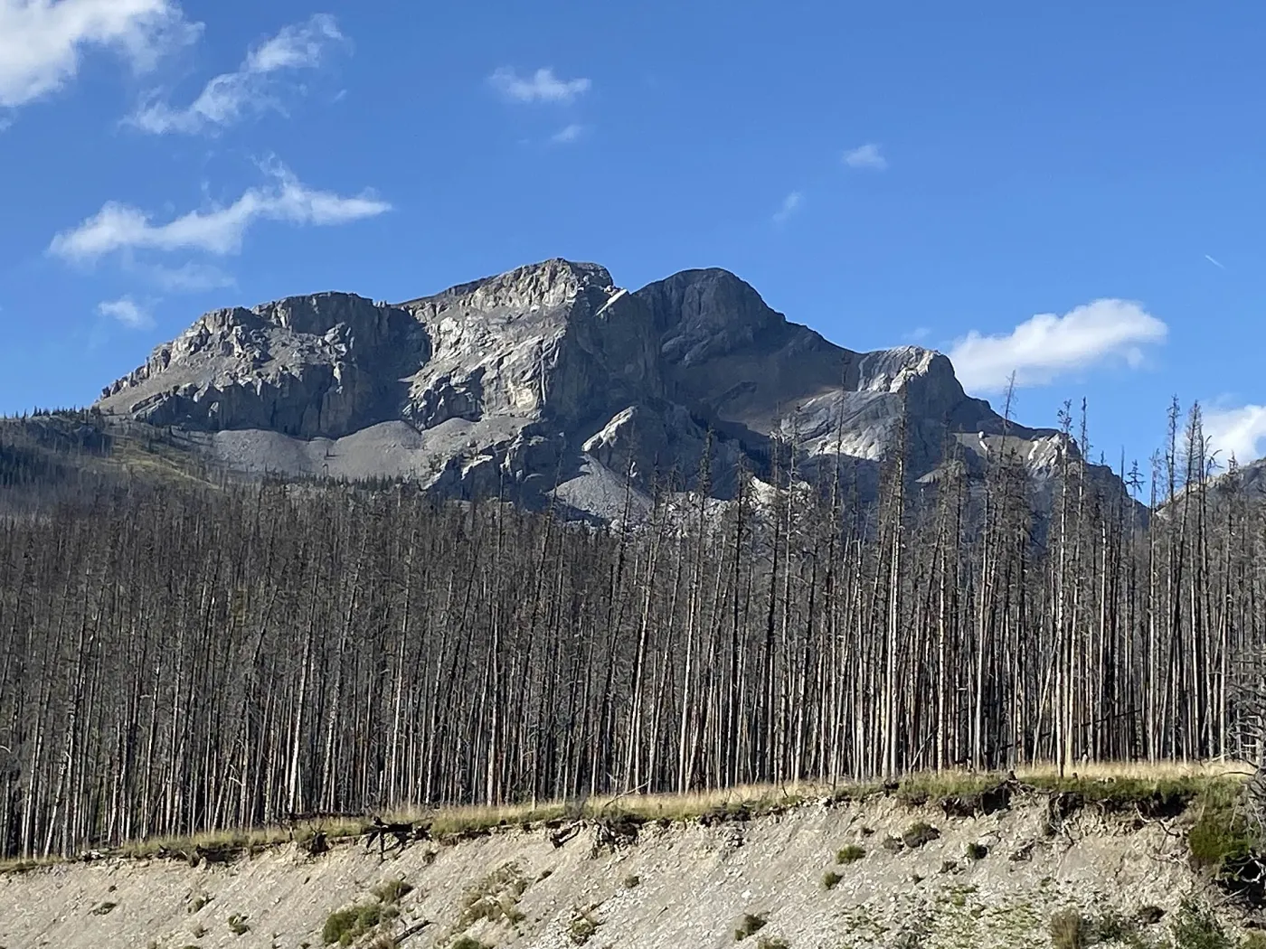
Black Rock Mountain Trail is a 9.8 km out and back trail near Devil's Gap in Don Getty Wildland Provincial Park. It runs 4.9 km each way. The route gains 864 m in total and tops out at 2,433 m. Hike Alberta rates it hard. Allow about 5 hours 45 minutes of moving time. Along the way you pass the summit of Black Rock Mountain, a stream crossing, Black Rock Mountain Fire Lookout (disused) and Black Rock Lookout. Also used for mountain biking.
- Length
- 9.8km
- 4.9 km each way
- Elevation gain
- 864m
- Estimated time
- 5h45min
- Moving time
- Route
- Out and back
- Highest point
- 2,433m
- Lowest point
- 1,569m
Elevation profile
1,569 m to 2,433 mHighest point 2,433 m, lowest 1,569 m, 864 m of climbing in total. Steepest sustained grade about 63% over 100 m.
Predicted coverage: 100% of route
5% LTE · 95% 5G
- Longest modelled gap
- 0.0 km
- Model
- 2024 · Natural Resources Canada
Predicted coverage is not guaranteed. It varies by carrier, terrain, weather, device and network load, and it does not guarantee emergency service.
Along the way
- 0.0 kmStream crossing
- 4.8 kmBlack Rock MountainSummit · 2,462 m
- 4.9 kmBlack Rock Mountain Fire Lookout (disused)Hut
- 4.9 kmBlack Rock LookoutLookout tower
Good for
- Hiking, Mountain biking
- Dog friendly (on leash)
- Summit, Views, Hut or tea house, Alpine
Rankings
Trailhead
The trail starts at 51.3050° N, 115.1644° W.
Before you go
Carry an offline map and plan for no service in backcountry areas. Trails close for wildlife, fire, weather and construction. Check the official sources:
Nearby trails
- Blackrock MountainEasy · 4.0 km · 209 m gain · 0.4 km away
- Phantom Crag RouteHard · 4.5 km · 707 m gain · 1.6 km away
- Morning Glory Towers RouteHard · 3.0 km · 304 m gain · 2.2 km away
- Phantom Bluffs Hiking TrailHard · 2.7 km · 296 m gain · 2.4 km away
- Phantom Bluffs Walking RouteEasy · 4.8 km · 39 m gain · 2.4 km away
- Devil's GapModerate · 9.4 km · 127 m gain · 2.5 km away
All 103 trails in Don Getty Wildland Provincial Park
Trail data © OpenStreetMap contributors, ODbL
Elevation © Mapterhorn from NRCan HRDEM (Open Government Licence Canada) and Copernicus GLO 30